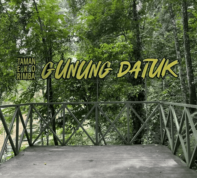
Description
Background:
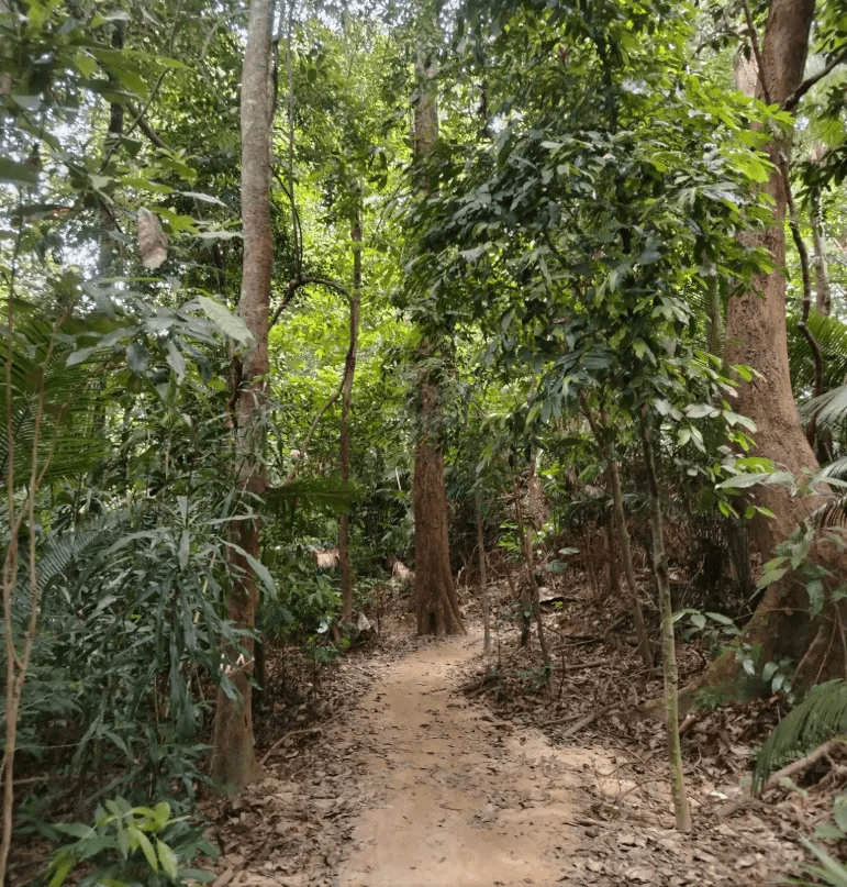
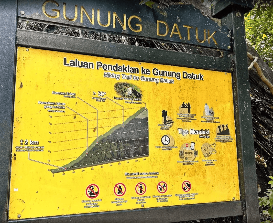
Despite its relatively modest height of 885 meters, the trail is known for its challenging and rewarding ascent, making it a perfect climb for both enthusiastic beginners and experienced hikers looking for a good workout.
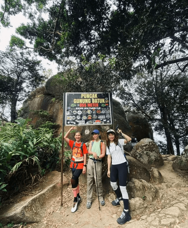
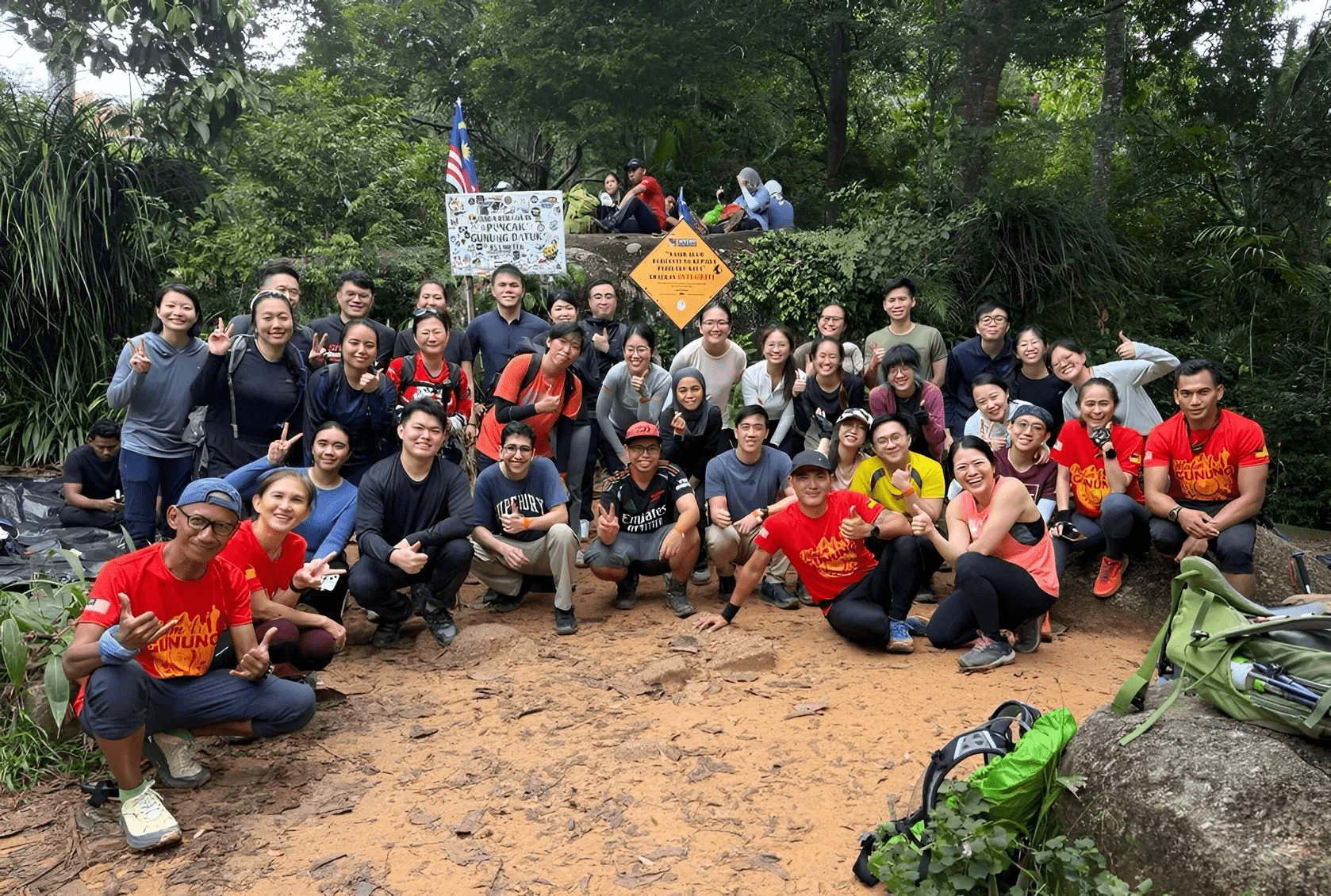
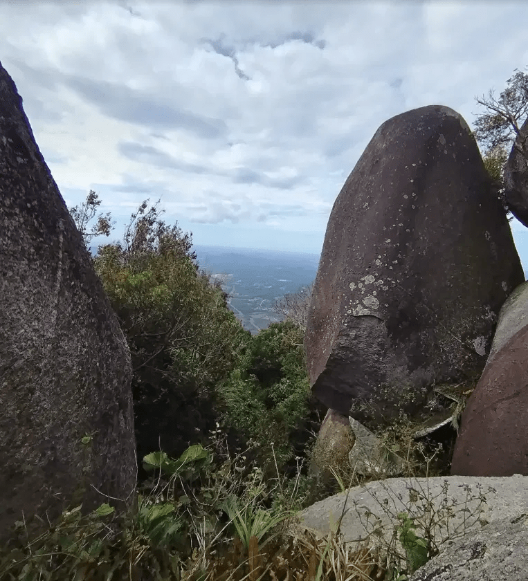
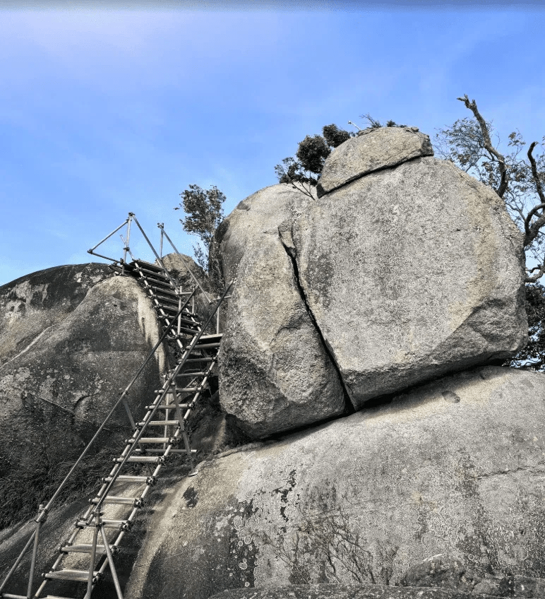
The highlight of the hike is undoubtedly the summit, which is marked by a unique formation of massive granite boulders. Hikers must use a series of steel ladders and ropes to scramble up the final section, a thrilling finish to the trek.
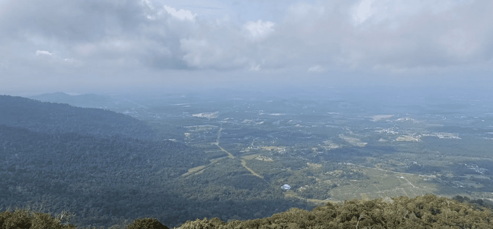
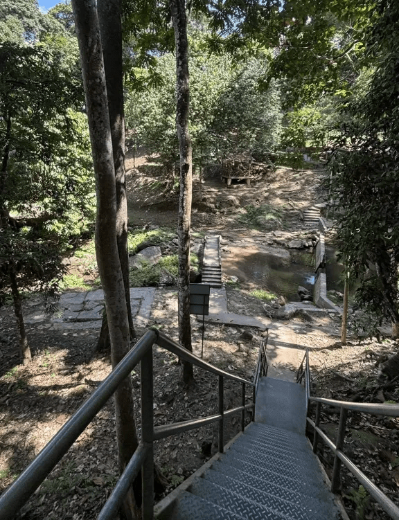
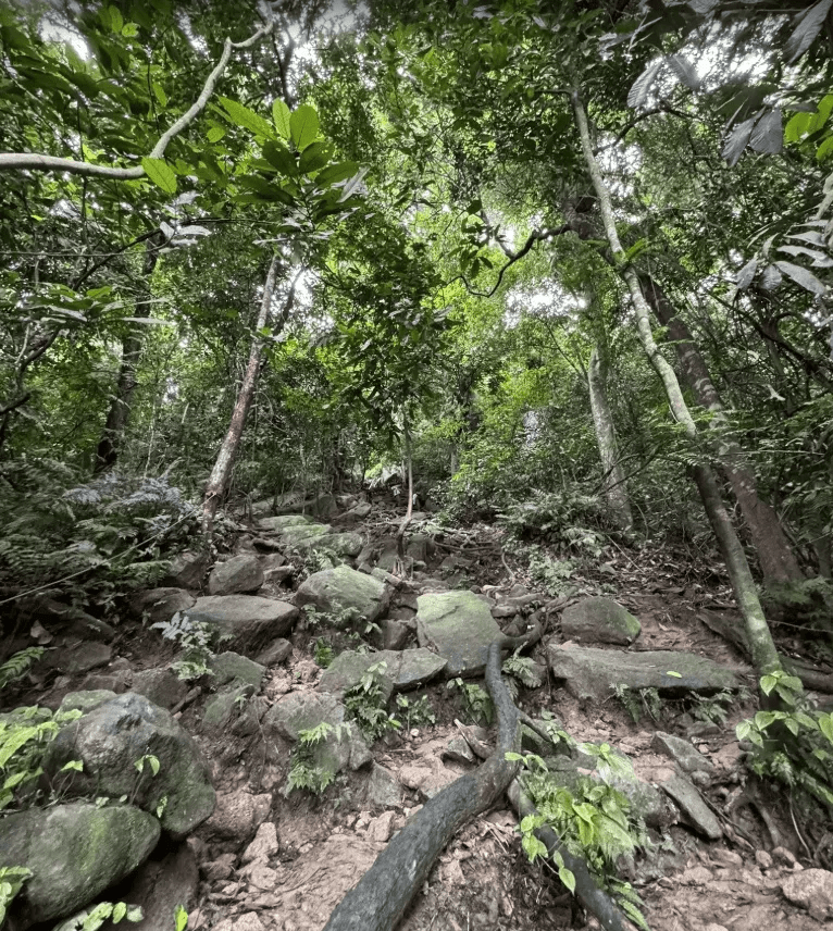
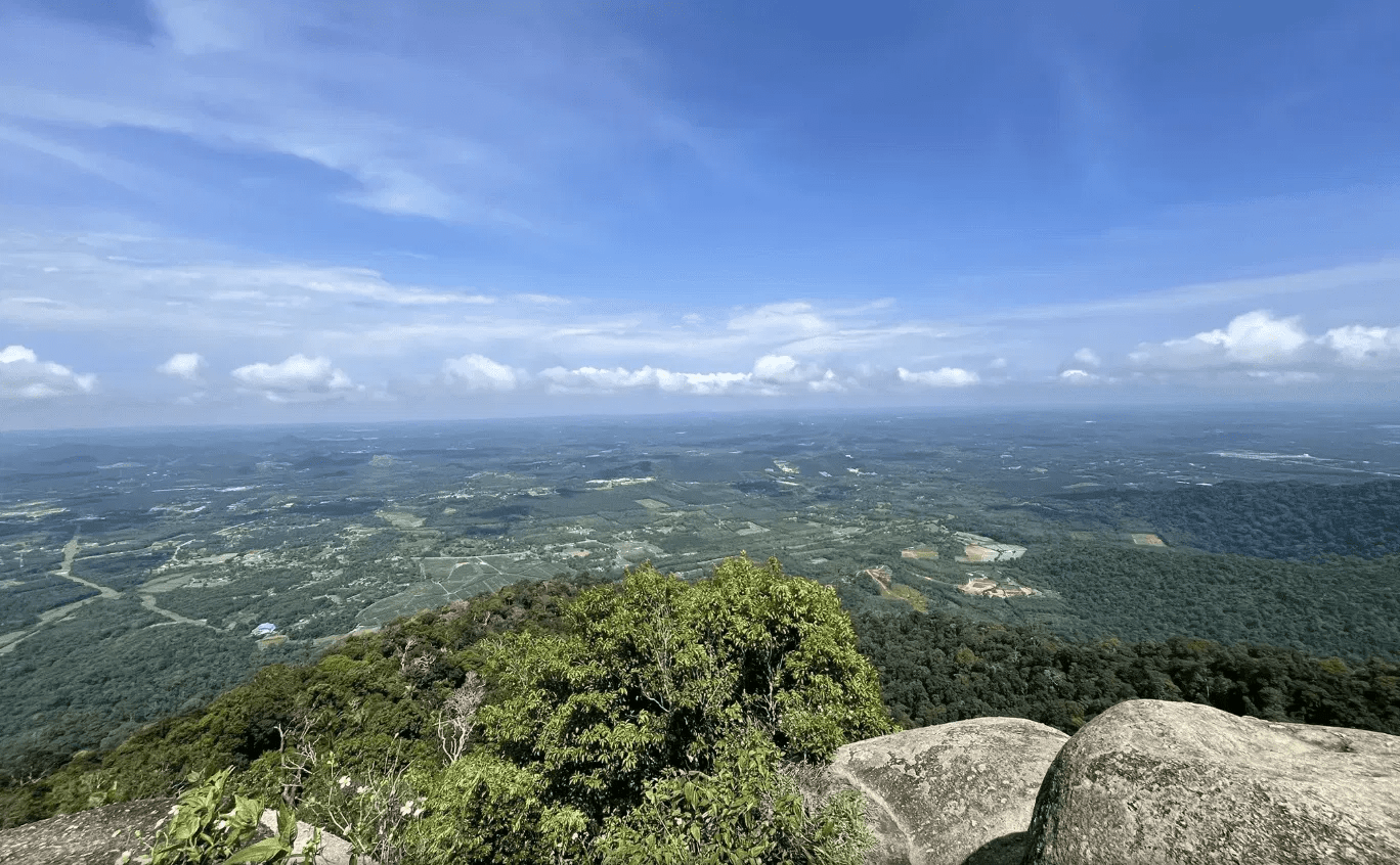
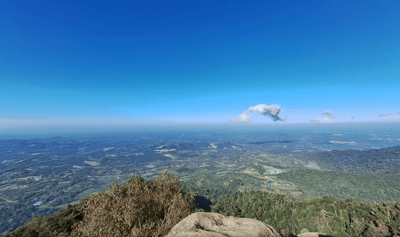
The effort is well worth it, as the peak offers a breathtaking 360-degree panoramic view of the surrounding landscape. On a clear day, you can even see the Malacca Straits. While the trail is well-maintained, it features steep inclines and rocky terrain, particularly in the initial and final sections.
Hike Information:
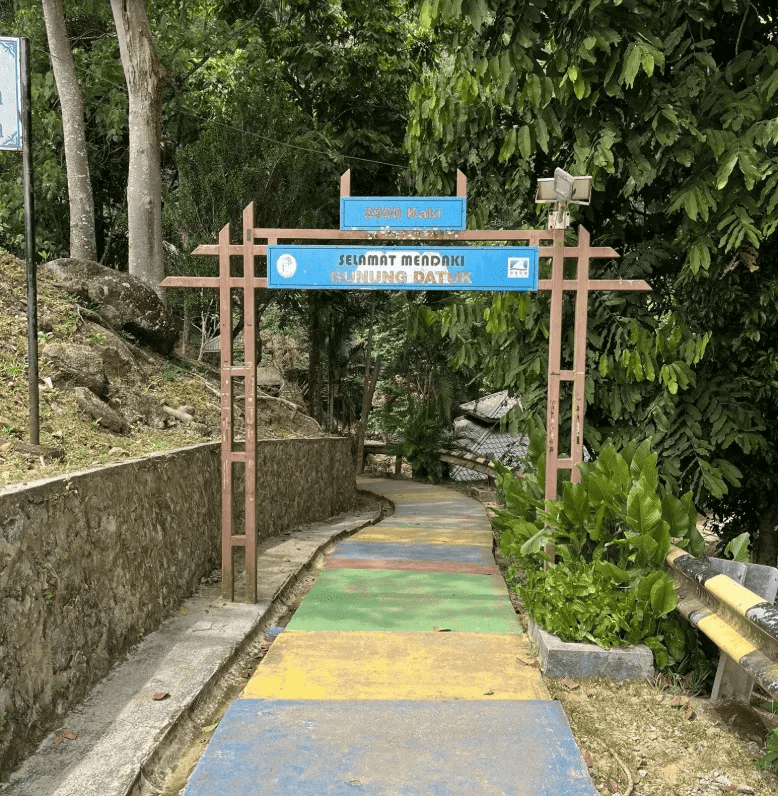
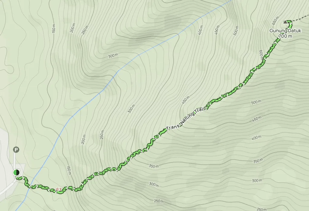
📍 Location: Rembau, Negeri Sembilan
📜 Permit: Mandatory
🧑✈️ Licensed MGP Guide: Optional for Malaysian citizens / Mandatory for non-Malaysians
📏 Distance: ~ 8 km (Return)
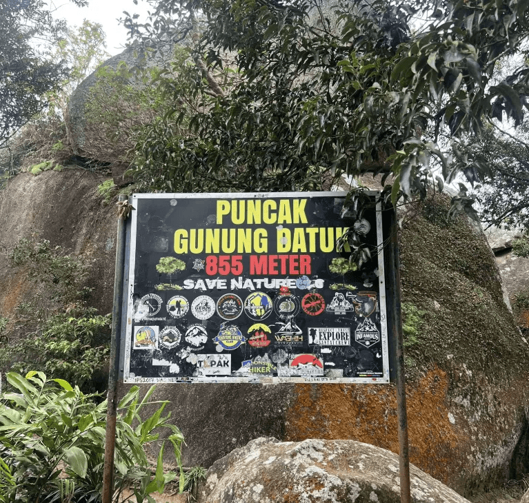
⛰ Peak Height: 885 m / 2,904 ft
📈 Elevation Gain: ~ 600 m / ~ 1,969 ft
⚠️ Difficulty Rating: 4/10 (Moderate)
📍 Peak Coordinates: 2°33’07.4″N 102°10’58.1″E 👉 [View on Google Maps]
👥 MGP Guide to Hiker Ratio:
- The standard MGP guide-to-hiker ratio is 1:7, but where guides are optional, the recommended ratio is 1:10.
- If your group has more than 7 or 10 participants, additional guides will be required to maintain the mandated safety ratio.
- This requirement ensures safety, compliance with forestry regulations, and a better hiking experience for all participants.
🔢 Ratio Examples:
- 1–7 hikers → 1 guide
- 8–14 hikers → 2 guides
- 15–21 hikers → 3 guides
- 22–28 hikers → 4 guides
💬 Next Steps After Payment:
- 📧 Confirmation: You’ll receive a booking confirmation within 10 minutes. If you don’t receive a confirmation email, please contact our customer support team.
- 📱 WhatsApp Group: All registered participants will be added to a dedicated WhatsApp group for final updates, reminders, and important hike information.
- 🎫 Voucher Type: Please present your mobile voucher along with your identification or passport on the day of the hike.
Tentative – Lata Kijang
Tentative – Gunung Datuk
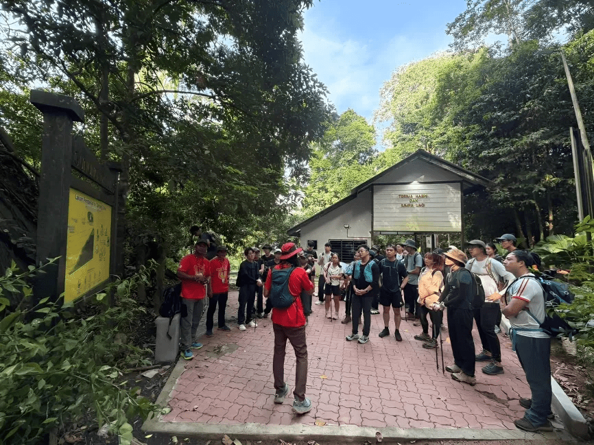
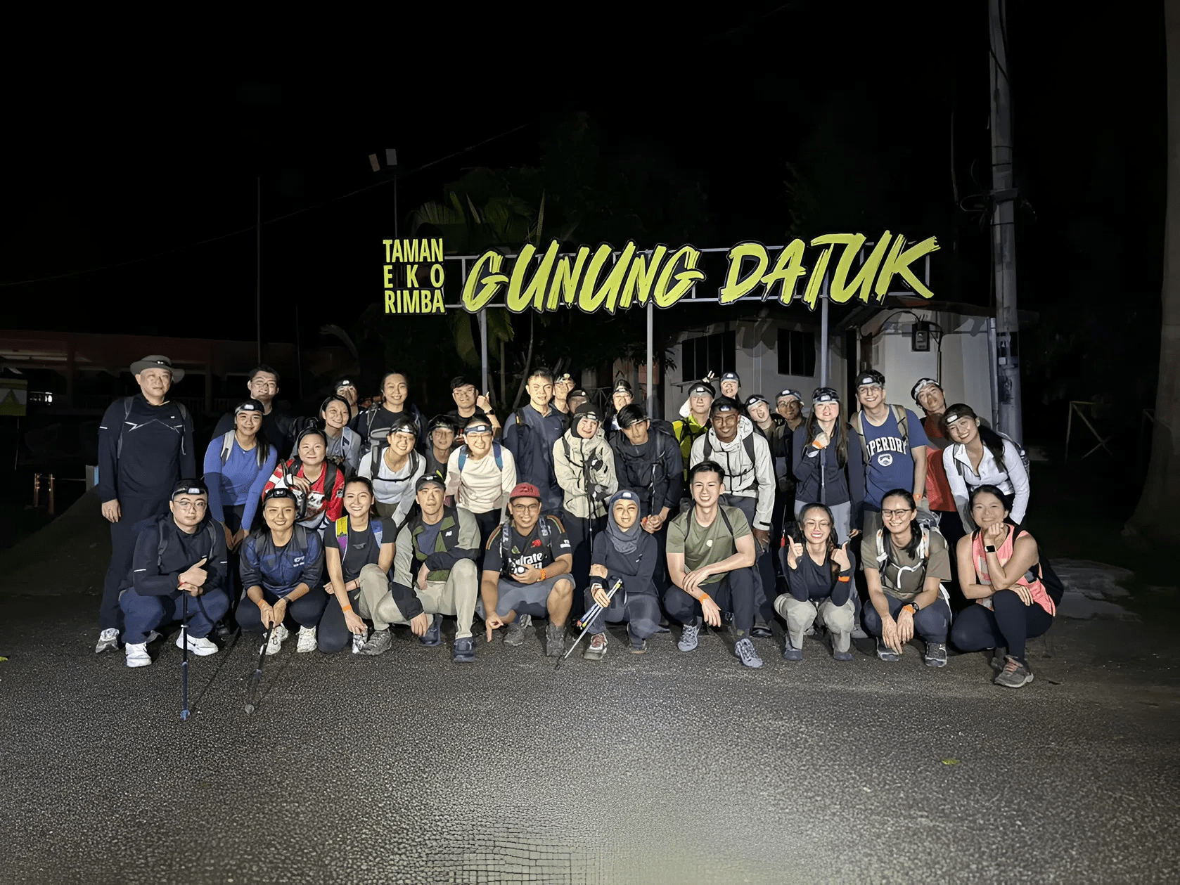
7:00 AM – Gather at Gunung Datuk parking 👉 [View on Google Maps]
7:15 AM – Safety briefing, gear check & warm-up
7:30 AM – Start Hike
10:00 AM – Reach Gunung Datuk summit
11:00 AM – Descent
1:00 PM – Reach trailhead | End of Hike
Notes:
- This tentative schedule is for guidance only and may change depending on actual conditions, including traffic delays, weather conditions, varying group pace, or delays by participants.
- All real-time updates and changes will be communicated through a designated WhatsApp group.
- Parking is free and available on-site.
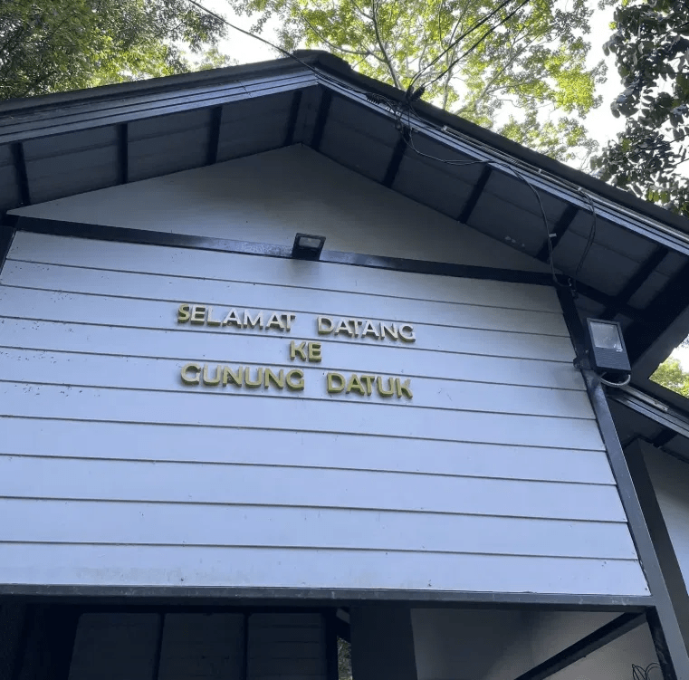
Meeting Point
Gunung Datuk Entrance
Kampung Chengkau Ulu, 71350 Rembau, MY