Description
Background:
Take on the challenge of Trans Yam Tuan Antah, a demanding full-day adventure that forms part of the legendary Trans Naning trail. This epic route links three iconic peaks — Gunung Datuk, Gunung Rembau, and Gunung Gagak — deep within the lush highlands of Negeri Sembilan.
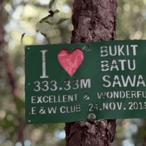
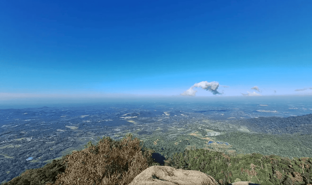
The journey begins along the historic trails of Gunung Datuk, renowned for its sweeping summit views, before transitioning into the quieter, forested paths of Gunung Rembau and Gunung Gagak, offering a more remote and immersive hiking experience.
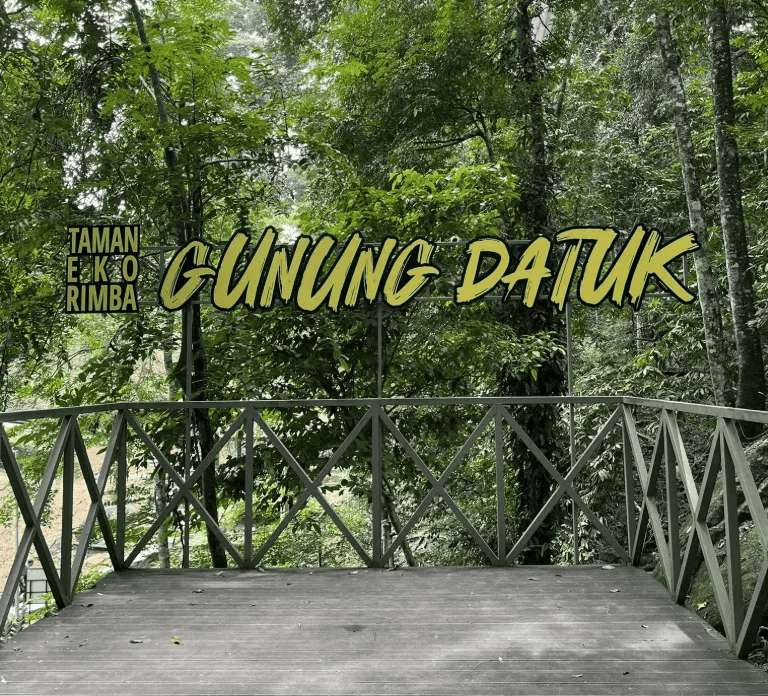
Located within the pristine Hutan Simpan Kekal Gunung Tampin and accessible via Taman Eko Rimba Gunung Datuk, this section of the Trans Naning trail delivers a rewarding blend of physical challenge, natural beauty, and accomplishment — a true must-hike for seasoned adventurers.
Hike Information:
📍 Location: Rembau, Negeri Sembilan
📜 Permit: Mandatory
🧑✈️ Licensed MGP Guide: Optional for Malaysian Citizen / Mandatory for Non-Malaysian Citizen
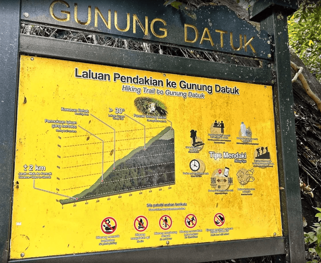
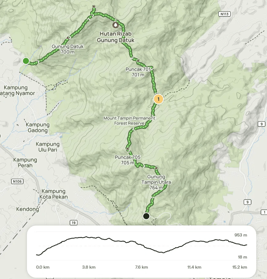
📏 Distance: ~ 11 km (Return)
⛰ Peak Height:
- Gunung Datuk – 855 m / 2,805 ft
- Gunung Rembau – 884 m / 2,900 ft
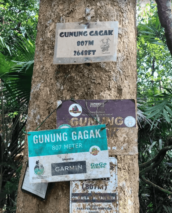
- Gunung Gagak – 807 m / 2,648 ft
📈 Elevation Gain: ~ 900 m / 2,952 ft
⚠️ Difficulty Rating: 5/10 (Moderate)
📍 Peak Coordinates:
- Gunung Datuk – 2°33’07.4″N 102°10’58.1″E 👉 [View on Google Maps]
- Gunung Rembau – 2°33’43.2″N 102°11’26.3″E 👉 [View on Google Maps]
- Gunung Gagak – 2°33’20.2″N 102°12’01.5″E 👉 [View on Google Maps]
👥 MGP Guide to Hiker Ratio:
- The standard MGP guide-to-hiker ratio is 1:7, but where guides are optional, the recommended ratio is 1:10.
- If your group has more than 7 or 10 participants, additional guides will be required to maintain the mandated safety ratio.
- This requirement ensures safety, compliance with forestry regulations, and a better hiking experience for all participants.
🔢 Ratio Examples:
- 1–7 hikers → 1 guide
- 8–14 hikers → 2 guides
- 15–21 hikers → 3 guides
- 22–28 hikers → 4 guides
💬 Next Steps After Payment:
- 📧 Confirmation: You’ll receive a booking confirmation within 10 minutes. If you don’t receive a confirmation email, please contact our customer support team.
- 📱 WhatsApp Group: All registered participants will be added to a dedicated WhatsApp group for final updates, reminders, and important hike information.
- 🎫 Voucher Type: Please present your mobile voucher along with your identification or passport on the day of the hike.
Tentative – Trans YTA
3:00 AM – Gather at Gunung Datuk parking 👉 [View on Google Maps]
3:30 AM – Safety briefing, gear check & warm-up
4:00 AM – Begin the hike
5:00 AM – Arrive at Checkpoint 1
6:00 AM – Reach the summit of Gunung Datuk
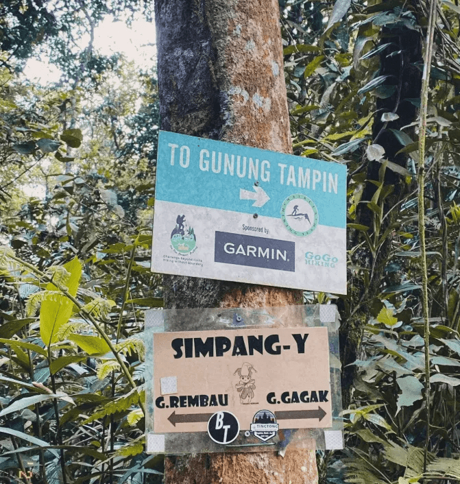
7:00 AM – Continue hiking towards Simpang Y
7:40 AM – Arrive at Simpang Y
8:00 AM – Reach the summit of Gunung Rembau
8:20 AM – Return to Simpang Y
8:30 AM – Proceed to Gunung Gagak summit
10:00 AM – Arrive at the summit of Gunung Gagak
11:00 AM – Begin descent back to Simpang Y
12:00 PM – Arrive at Simpang Y and continue towards Gunung Datuk
1:00 PM – Reach Gunung Datuk summit and begin descent to the trailhead
2:30 PM – Arrive at the trailhead | end of hike
Notes:
- This tentative schedule is for guidance only and may change depending on actual conditions, including traffic delays, weather conditions, varying group pace, or delays by participants.
- All real-time updates and changes will be communicated through a designated WhatsApp group.
- Parking is free and available on-site.
Meeting Point
Gunung Datuk Entrance
Kampung Chengkau Ulu, 71350 Rembau, MY